Imagine stepping out your door for a sunrise beach walk, grabbing coffee two blocks away, and meeting friends for dinner with an ocean view. If that sounds like your pace, Del Mar can deliver it in a very specific way. The city’s most walkable life is real, but it is focused around the compact Village core. In this guide, you’ll learn exactly where Del Mar is walkable, how daily routines play out, and the tradeoffs to plan for. Let’s dive in.
What walkable means in Del Mar
Del Mar is a small coastal city, and its overall Walk Score reflects that. The city center scores a 28 on Walk Score, which is considered car dependent, with a Transit Score of 15 and a Bike Score around 48. That means many errands are not walkable unless you live near the Village. You can review the score details on the official Walk Score page for Del Mar to set expectations early (see Walk Score).
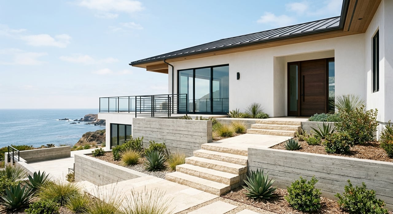
The exception is the Village core, which is intentionally compact and designed for pedestrians. If you prioritize walking to coffee, dining, beach access, and small services, this area is where you focus.
The Village core: live where you walk
City planning materials define the pedestrian heart of Del Mar along Camino Del Mar, roughly from 9th Street to 15th Street. Here, restaurants, boutiques, services, and small hotels cluster on a comfortable, human-scale corridor (Village Specific Plan). Many addresses in this zone are a 5 to 15 minute walk from oceanfront parks, cafes, and shops.
Daily conveniences in the core
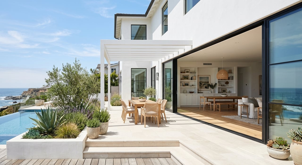
- Beach time is effortless. Powerhouse Park, the Community Center, and formal beach access points sit right at the water’s edge, a few minutes from the main street (Powerhouse Park).
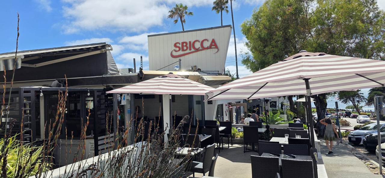
- Dining and shopping concentrate at Del Mar Plaza and nearby storefronts, with ocean views and a rotating calendar of village events that bring people to the sidewalks (browse Village shops and Del Mar Plaza listings).
- Seagrove Park and bluff-top viewpoints add easy green space for picnics, sunset watching, and casual meetups.
From morning coffee to evening dining, you can keep most daily pleasures on foot when you live here.
Outside the core: what to expect
Beyond the Village, many neighborhoods are beautiful but spread out. You will likely drive for full-service groceries, big-box errands, and major medical visits, which cluster on Del Mar Heights Road, Via de la Valle, or in adjacent communities. It is common to keep a car even if you plan to walk for beach time, dining, and everyday conveniences in the core.
Trails and open space access
One of Del Mar’s biggest perks is how quickly you can go from village sidewalks to coastal trails.
- Torrey Pines State Natural Reserve sits just to the south with signature routes like the Guy Fleming, Razor Point, and Beach Trails, plus a visitor center. It is a world-class place for ocean-view hiking and quick nature resets (Torrey Pines State Natural Reserve).
- To the east, the San Dieguito Lagoon and RiverPath Del Mar create flat, scenic options for walking and birding. The City continues to extend RiverPath segments to improve pedestrian connections through the lagoon area (RiverPath Del Mar extension).
Between beach walks, bluff viewpoints, and mesa trails, you get a rare mix of waterside and hillside access within minutes.
Getting around without a car
Local transit options
Del Mar’s primary bus is the NCTD BREEZE 101, which runs along Camino Del Mar with stops through the city. You can connect at the Solana Beach station, about a mile north, for COASTER and Amtrak Pacific Surfliner service. The City notes that most residents live within a half mile of a transit stop, but frequency and destinations are limited, so plan accordingly (City transit overview).
Biking and future links
Regional agencies are improving multi-use bike and pedestrian facilities across the North Coast Corridor. As these projects progress, bike connections to and through Del Mar are expected to improve over time. For now, you will find the easiest everyday biking near the Village and along coastal corridors.
Seasonality, parking, and coastal projects
Del Mar is a destination town. During major events at the Del Mar Fairgrounds, like the San Diego County Fair and race meets, sidewalks and streets get busier, especially in summer and early fall. Expect more foot traffic and tighter parking during those periods (Del Mar Fairgrounds events).
The City actively manages Village parking and pedestrian improvements, including sidewalk upgrades and public parking options. Meter and permit fees are updated periodically, so check the current City fee schedule before you plan a long beach day or guest parking (City fee schedule).
You should also be aware of ongoing coastal bluff stabilization and long-range rail relocation planning. This work can affect beach access points, create temporary closures, and change the feel of certain stretches during construction. It is an important context item if you value uninterrupted coastal walks and quiet viewpoints (City coastal impact report).
Who a walkable Del Mar fits
- You want to walk to the beach, cafés, and dinner several times a week and you value a compact, village feel.
- You are comfortable driving or biking for full grocery runs and medical appointments.
- You appreciate quick access to hiking and lagoon trails in addition to the beach.
- You prefer a quieter day-to-day pace and can plan around seasonal event crowds.
How to choose the right address
- Focus your search on Camino Del Mar between roughly 9th and 15th Streets and the blocks that touch the Village. This is the pedestrian-oriented core defined in City planning documents (Village Specific Plan).
- Map your daily routine. Identify your most important walk destinations, like Powerhouse Park, Seagrove Park, favorite cafés, Del Mar Plaza, and beach access points, then measure actual walk times.
- Consider noise and seasonality. If you prize quiet evenings, test your route on weekends and during fair or race season.
- Confirm mobility options. Check proximity to BREEZE 101 stops and your comfort with the walk or rideshare to Solana Beach station for COASTER and Amtrak connections (City transit overview).
Ready to explore homes around the Village?
If you are comparing North County’s coastal towns and want clarity on which Del Mar addresses support an easy, walkable routine, let’s talk. With a design-forward, data-informed approach and deep local knowledge of the Village blocks, Todd Vassar can help you pinpoint the right location and negotiate the right terms.
FAQs
Can you live car-free in Del Mar?
- It is possible only if you live and work in the Village core and rarely leave town. The city’s low Walk Score and limited transit mean most households still keep a car for groceries and regional trips.
Where are the most walkable homes in Del Mar?
- Focus on Camino Del Mar addresses between about 9th and 15th Streets and nearby blocks next to Del Mar Plaza and Powerhouse Park. This is the area planned around pedestrians.
Are groceries and everyday services within walking distance?
- Small specialty shops and personal services cluster in the Village. Full-service supermarkets are typically a short drive or bike ride away on Del Mar Heights Road, Via de la Valle, or in nearby communities.
How useful is transit for commuting from Del Mar?
- The BREEZE 101 covers local stops along Camino Del Mar, and the Solana Beach station provides COASTER and Amtrak service. Helpful for some trips, but not a replacement for frequent local transit.
Will coastal bluff or rail work change beach access?
- Yes. Ongoing stabilization and long-range rail planning can create temporary closures, detours, or construction zones that affect certain beach access points and walking routes.